
Mbunda topographic map
Interactive map
Click on the map to display elevation.
About this map
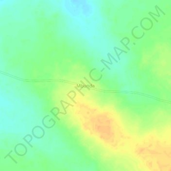
Name: Mbunda topographic map, elevation, terrain.
Location: Mbunda, Malanje, Angola (-10.06022 16.75853 -10.02022 16.79853)
Average elevation: 1,082 m
Minimum elevation: 1,068 m
Maximum elevation: 1,098 m