
Shivling topographic map
Interactive map
Click on the map to display elevation.
About this map
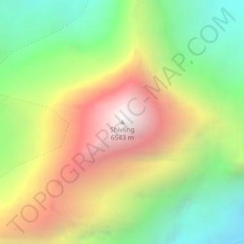
Name: Shivling topographic map, elevation, terrain.
Location: Shivling, Uttarkashi, Uttarakhand, India (30.87995 79.06306 30.88005 79.06316)
Average elevation: 5,440 m
Minimum elevation: 4,597 m
Maximum elevation: 6,484 m
Other topographic maps
Click on a map to view its topography, its elevation and its terrain.
Milam Glacier
Milam Glacier, Pithoragarh, Uttarakhand, India
Average elevation: 5,223 m
Pindar Glacier
Pindar Glacier, Bageshwar, Uttarakhand, India
Average elevation: 4,447 m
Pithoragarh
India > Uttarakhand > Pithoragarh
Pithoragarh, Uttarakhand, 262500, India
Average elevation: 1,618 m