
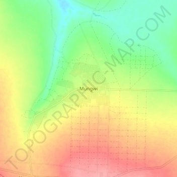
Mungwi topographic map
Interactive map
Click on the map to display elevation.
About this map
Name: Mungwi topographic map, elevation, terrain.
Location: Mungwi, Mungwi District, Northern Province, Zambia (-10.21216 31.32670 -10.13216 31.40670)
Average elevation: 1,376 m
Minimum elevation: 1,331 m
Maximum elevation: 1,422 m