
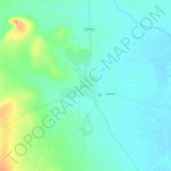
Sinta topographic map
Interactive map
Click on the map to display elevation.
About this map
Name: Sinta topographic map, elevation, terrain.
Location: Sinta, Famagusta, Northern Cyprus, Cyprus (35.13761 33.68055 35.17761 33.72055)
Average elevation: 36 m
Minimum elevation: 25 m
Maximum elevation: 62 m