
Athens-Clarke County Unified Government topographic map
Interactive map
Click on the map to display elevation.
About this map
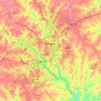
Name: Athens-Clarke County Unified Government topographic map, elevation, terrain.
Average elevation: 220 m
Minimum elevation: 142 m
Maximum elevation: 276 m