
Lawrence County topographic map
Interactive map
Click on the map to display elevation.
About this map
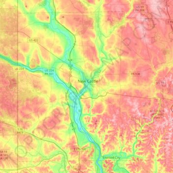
Name: Lawrence County topographic map, elevation, terrain.
Location: Lawrence County, Pennsylvania, United States of America (40.85129 -80.51934 41.12796 -80.09672)
Average elevation: 338 m
Minimum elevation: 224 m
Maximum elevation: 439 m