
Otero County topographic map
Interactive map
Click on the map to display elevation.
About this map
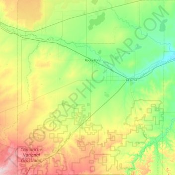
Name: Otero County topographic map, elevation, terrain.
Location: Otero County, Colorado, United States of America (37.64231 -104.05994 38.26476 -103.39655)
Average elevation: 1,357 m
Minimum elevation: 1,207 m
Maximum elevation: 1,694 m