
Clackamas County topographic map
Interactive map
Click on the map to display elevation.
About this map
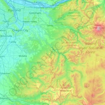
Name: Clackamas County topographic map, elevation, terrain.
Location: Clackamas County, Oregon, United States of America (44.88571 -122.86800 45.46167 -121.65149)
Average elevation: 660 m
Minimum elevation: -1 m
Maximum elevation: 3,392 m