
Lessebo kommun topographic map
Interactive map
Click on the map to display elevation.
About this map
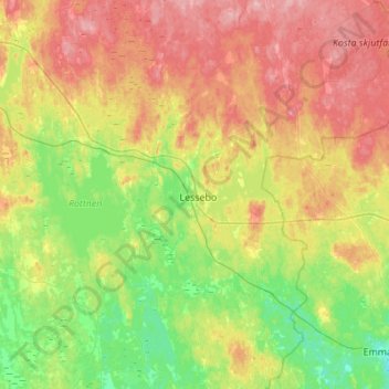
Name: Lessebo kommun topographic map, elevation, terrain.
Location: Lessebo kommun, Kronoberg County, Region Götaland, Sweden (56.60167 15.06536 56.90152 15.55693)
Average elevation: 176 m
Minimum elevation: 123 m
Maximum elevation: 263 m
Other topographic maps
Click on a map to view its topography, its elevation and its terrain.