
Idera topographic map
Interactive map
Click on the map to display elevation.
About this map
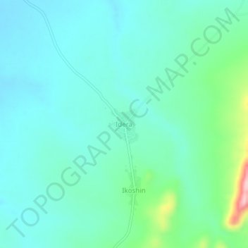
Name: Idera topographic map, elevation, terrain.
Location: Idera, Ifelodun, Kwara, Nigeria (8.42451 5.08948 8.46451 5.12948)
Average elevation: 306 m
Minimum elevation: 266 m
Maximum elevation: 470 m