
Helena topographic map
Interactive map
Click on the map to display elevation.
Helena
Helena has a semi-arid climate (Köppen BSk), with long, cold and moderately snowy winters, hot and dry summers, and short springs and autumns in between. The monthly daily average temperature ranges from 21.8 °F (−5.7 °C) in December to 70.0 °F (21.1 °C) in July, with average diurnal temperature variation exceeding 30 °F (17 °C) in summer, due to the aridity and elevation. Having December colder than January is a trait shared with much of the Pacific Northwest. Snowfall has been observed in every month but July, but is usually absent from May to September, and normally accumulates in only light amounts. Winters have periods of moderation, partly due to warming influence from chinooks. Precipitation mostly falls in the spring and is generally sparse, averaging only 11.3 inches (287 mm) annually.
About this map
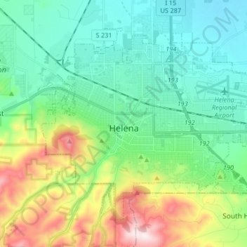
Name: Helena topographic map, elevation, terrain.
Average elevation: 1,298 m
Minimum elevation: 1,128 m
Maximum elevation: 1,741 m