
Coal County topographic map
Interactive map
Click on the map to display elevation.
About this map
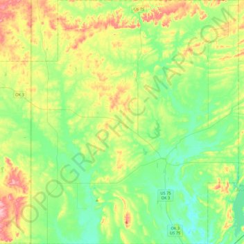
Name: Coal County topographic map, elevation, terrain.
Location: Coal County, Oklahoma, United States of America (34.41826 -96.51467 34.76750 -96.09209)
Average elevation: 209 m
Minimum elevation: 164 m
Maximum elevation: 299 m
Other topographic maps
Click on a map to view its topography, its elevation and its terrain.
Oklahoma County
United States of America > Oklahoma
Oklahoma County, Oklahoma, United States of America
Average elevation: 354 m