
Delta County topographic map
Interactive map
Click on the map to display elevation.
About this map
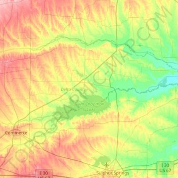
Name: Delta County topographic map, elevation, terrain.
Location: Delta County, Texas, United States (33.21828 -95.86175 33.49538 -95.30658)
Average elevation: 148 m
Minimum elevation: 105 m
Maximum elevation: 211 m
Other topographic maps
Click on a map to view its topography, its elevation and its terrain.