
Mammoth Cave topographic map
Interactive map
Click on the map to display elevation.
About this map
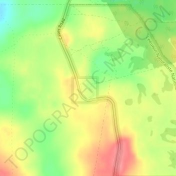
Name: Mammoth Cave topographic map, elevation, terrain.
Location: Mammoth Cave, Marri Trail, Western Australia, Australia (-34.05877 115.02967 -34.05867 115.02977)
Average elevation: 72 m
Minimum elevation: 30 m
Maximum elevation: 109 m
Other topographic maps
Click on a map to view its topography, its elevation and its terrain.