
Hamilton County topographic map
Interactive map
Click on the map to display elevation.
About this map
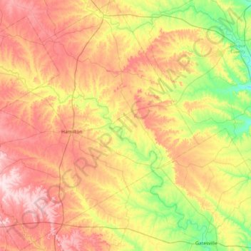
Name: Hamilton County topographic map, elevation, terrain.
Location: Hamilton County, Texas, United States of America (31.41640 -98.46354 32.01806 -97.76623)
Average elevation: 337 m
Minimum elevation: 207 m
Maximum elevation: 490 m
Other topographic maps
Click on a map to view its topography, its elevation and its terrain.