
Mecklenburg County topographic map
Interactive map
Click on the map to display elevation.
About this map
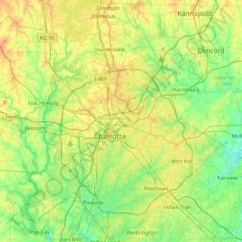
Name: Mecklenburg County topographic map, elevation, terrain.
Location: Mecklenburg County, North Carolina, United States (35.00168 -81.05821 35.51485 -80.55036)
Average elevation: 208 m
Minimum elevation: 142 m
Maximum elevation: 373 m
Other topographic maps
Click on a map to view its topography, its elevation and its terrain.