
Ngoma topographic map
Interactive map
Click on the map to display elevation.
About this map
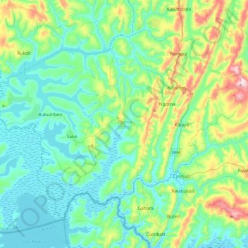
Name: Ngoma topographic map, elevation, terrain.
Location: Ngoma, East Province, Rwanda (-2.35231 30.25959 -2.04669 30.66069)
Average elevation: 1,444 m
Minimum elevation: 1,319 m
Maximum elevation: 1,900 m