
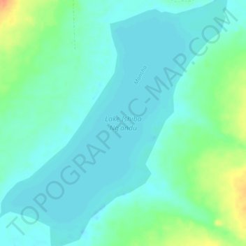
Lake Ishiba Ngandu topographic map
Interactive map
Click on the map to display elevation.
About this map
Name: Lake Ishiba Ngandu topographic map, elevation, terrain.
Location: Lake Ishiba Ngandu, D53, Chafilwa, Muchinga Province, Zambia (-11.25400 31.72040 -11.21154 31.76101)
Average elevation: 1,459 m
Minimum elevation: 1,448 m
Maximum elevation: 1,490 m