
Lemhi County topographic map
Interactive map
Click on the map to display elevation.
About this map
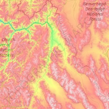
Name: Lemhi County topographic map, elevation, terrain.
Location: Lemhi County, Idaho, United States of America (44.22987 -114.82012 45.70598 -112.81246)
Average elevation: 2,146 m
Minimum elevation: 971 m
Maximum elevation: 3,412 m