
Nsenga topographic map
Interactive map
Click on the map to display elevation.
About this map
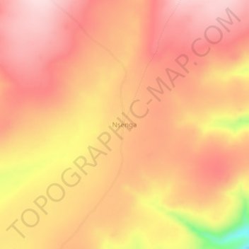
Name: Nsenga topographic map, elevation, terrain.
Location: Nsenga, Tanganyika, Democratic Republic of the Congo (-8.02564 29.82036 -7.98564 29.86036)
Average elevation: 1,601 m
Minimum elevation: 1,409 m
Maximum elevation: 1,682 m