Geolocate

Sint-Michielsgestel topographic map

Interactive map

Click on the map to display elevation.

About this map

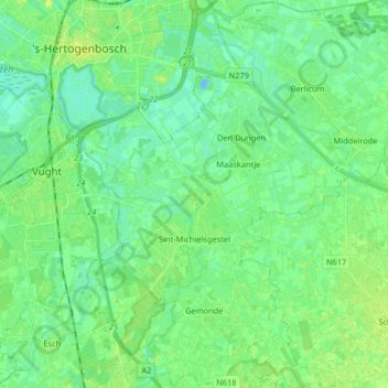
Name: Sint-Michielsgestel topographic map, elevation, terrain.

Location: Sint-Michielsgestel, North Brabant, Netherlands (51.60022 5.30380 51.70150 5.45687)

Average elevation: 7 m

Minimum elevation: -11 m

Maximum elevation: 14 m

Other topographic maps

Click on a map to view its topography, its elevation and its terrain.

Uden

Netherlands > North Brabant > Uden

Uden, North Brabant, Netherlands

Average elevation: 17 m

Eindhoven

Netherlands > North Brabant > Eindhoven

Eindhoven, North Brabant, Netherlands

Average elevation: 20 m

Driehuizen

Netherlands > North Brabant > Driehuizen

Driehuizen, North Brabant, Netherlands, 5111, Netherlands

Average elevation: 26 m

Nuenen

Netherlands > North Brabant > Nuenen c.a.

Nuenen, Nuenen c.a., North Brabant, Netherlands

Average elevation: 17 m

Hoogerheide

Netherlands > North Brabant > Woensdrecht

Hoogerheide, Woensdrecht, North Brabant, Netherlands

Average elevation: 14 m

Eindhoven

Netherlands > North Brabant > Eindhoven

Eindhoven, North Brabant, Netherlands

Average elevation: 20 m