
Mwinilunga topographic map
Interactive map
Click on the map to display elevation.
About this map
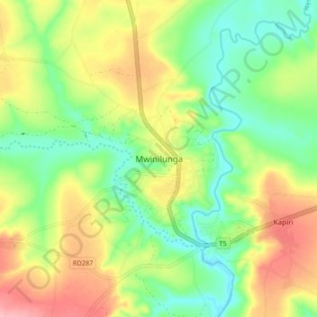
Name: Mwinilunga topographic map, elevation, terrain.
Location: Mwinilunga, North-Western Province, Zambia (-11.77146 24.38603 -11.69146 24.46603)
Average elevation: 1,345 m
Minimum elevation: 1,292 m
Maximum elevation: 1,419 m