
Ikelenge topographic map
Interactive map
Click on the map to display elevation.
About this map
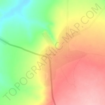
Name: Ikelenge topographic map, elevation, terrain.
Location: Ikelenge, Ikelenge District, North-Western Province, Zambia (-11.25931 24.25191 -11.21931 24.29191)
Average elevation: 1,383 m
Minimum elevation: 1,298 m
Maximum elevation: 1,451 m