
Mongu topographic map
Interactive map
Click on the map to display elevation.
About this map
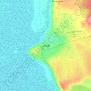
Name: Mongu topographic map, elevation, terrain.
Location: Mongu, Mongu District, Western Province, Zambia (-15.30688 23.09654 -15.22688 23.17654)
Average elevation: 1,037 m
Minimum elevation: 1,011 m
Maximum elevation: 1,102 m
Other topographic maps
Click on a map to view its topography, its elevation and its terrain.
Sioma Ngwezi National Park
Sioma Ngwezi National Park, RD324, Western Province, Zambia
Average elevation: 973 m