
Chisamba topographic map
Interactive map
Click on the map to display elevation.
About this map
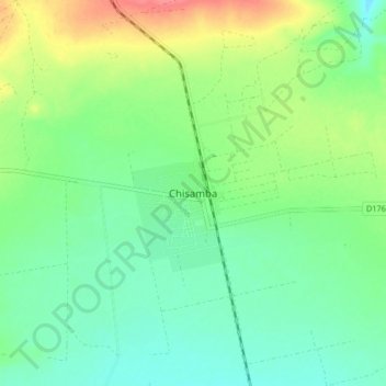
Name: Chisamba topographic map, elevation, terrain.
Location: Chisamba, Chisamba District, Central Province, Zambia (-15.01983 28.33610 -14.93983 28.41610)
Average elevation: 1,144 m
Minimum elevation: 1,123 m
Maximum elevation: 1,185 m