
Lumbe topographic map
Interactive map
Click on the map to display elevation.
About this map
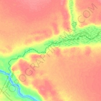
Name: Lumbe topographic map, elevation, terrain.
Location: Lumbe, Western Province, Zambia (-16.72476 23.69039 -16.66725 23.81525)
Average elevation: 1,009 m
Minimum elevation: 964 m
Maximum elevation: 1,031 m
Other topographic maps
Click on a map to view its topography, its elevation and its terrain.
Mongu
Mongu, Mongu District, Western Province, Zambia
Average elevation: 1,037 m
Sioma Ngwezi National Park
Sioma Ngwezi National Park, RD324, Western Province, Zambia
Average elevation: 973 m