
Busuanga Island topographic map
Interactive map
Click on the map to display elevation.
About this map
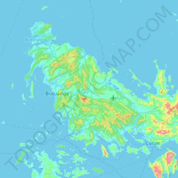
Name: Busuanga Island topographic map, elevation, terrain.
Location: Busuanga Island, Coron, Palawan, Mimaropa, 5316, Philippines (11.96060 119.84814 12.32970 120.34148)
Average elevation: 33 m
Minimum elevation: -1 m
Maximum elevation: 626 m
Other topographic maps
Click on a map to view its topography, its elevation and its terrain.