
Knoxville topographic map
Interactive map
Click on the map to display elevation.
About this map
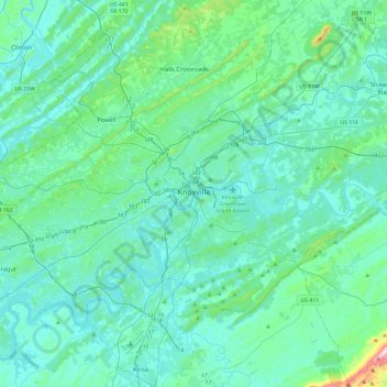
Name: Knoxville topographic map, elevation, terrain.
Location: Knoxville, Knox County, Tennessee, United States of America (35.84950 -84.16163 36.06743 -83.68854)
Average elevation: 307 m
Minimum elevation: 232 m
Maximum elevation: 881 m