
Durg topographic map
Interactive map
Click on the map to display elevation.
About this map
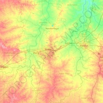
Name: Durg topographic map, elevation, terrain.
Location: Durg, Chhattisgarh, India (20.85031 81.14466 21.54485 81.62513)
Average elevation: 295 m
Minimum elevation: 255 m
Maximum elevation: 347 m