
Blue Nile topographic map
Interactive map
Click on the map to display elevation.
About this map
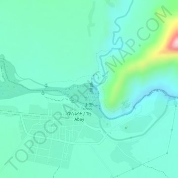
Name: Blue Nile topographic map, elevation, terrain.
Location: Blue Nile, South Gonder, Amhara Region, Ethiopia (11.48973 37.58601 11.49075 37.58859)
Average elevation: 1,649 m
Minimum elevation: 1,590 m
Maximum elevation: 1,858 m