
Sandwich topographic map
Interactive map
Click on the map to display elevation.
About this map
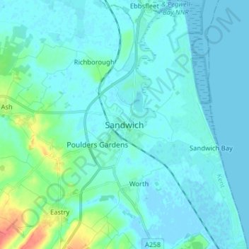
Name: Sandwich topographic map, elevation, terrain.
Location: Sandwich, Kent, South East, England, CT13 9ED, United Kingdom (51.23525 1.30083 51.31525 1.38083)
Average elevation: 7 m
Minimum elevation: -3 m
Maximum elevation: 54 m