Saint-Genest-Lerpt topographic map
Interactive map
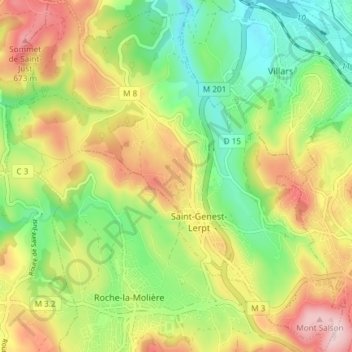
Click on the map to display elevation.
About this map
Name: Saint-Genest-Lerpt topographic map, elevation, terrain.
Average elevation: 547 m
Minimum elevation: 430 m
Maximum elevation: 699 m

Click on the map to display elevation.
Name: Saint-Genest-Lerpt topographic map, elevation, terrain.
Average elevation: 547 m
Minimum elevation: 430 m
Maximum elevation: 699 m