
Daresbury topographic map
Interactive map
Click on the map to display elevation.
About this map
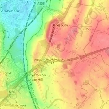
Name: Daresbury topographic map, elevation, terrain.
Location: Daresbury, Halton, North West England, England, United Kingdom (53.31205 -2.65376 53.34851 -2.59522)
Average elevation: 48 m
Minimum elevation: 7 m
Maximum elevation: 79 m