
The Municipal District of Callan — Thomastown topographic map
Interactive map
Click on the map to display elevation.
About this map
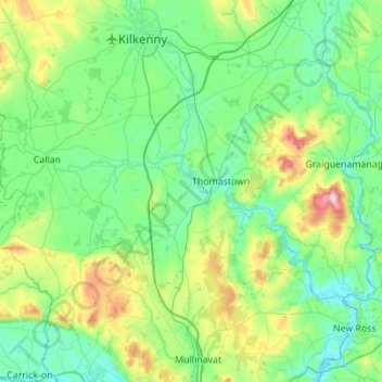
Name: The Municipal District of Callan — Thomastown topographic map, elevation, terrain.
Average elevation: 100 m
Minimum elevation: -4 m
Maximum elevation: 500 m