
Parch Natural Pöz-Odles - Naturpark Puez-Geisler - Parco Naturale Puez-Odle topographic map
Interactive map
Click on the map to display elevation.
About this map
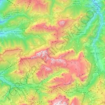
Name: Parch Natural Pöz-Odles - Naturpark Puez-Geisler - Parco Naturale Puez-Odle topographic map, elevation, terrain.
Average elevation: 1,882 m
Minimum elevation: 1,069 m
Maximum elevation: 2,985 m