
Thank you for supporting this site ❤️
Make a donation
Make a donation
Wittenberge topographic map
Click on the map to display elevation.
Thank you for supporting this site ❤️
Make a donation
Make a donation
About this map
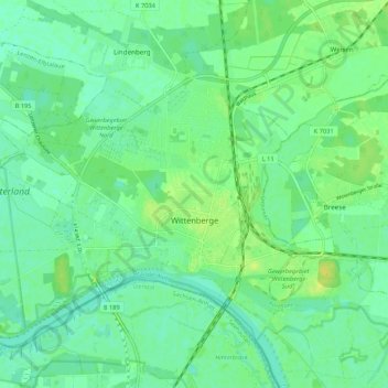
Name: Wittenberge topographic map, elevation, terrain.
Location: Wittenberge, Prignitz, Brandenburg, 19322, Germany (52.97731 11.68357 53.02801 11.79033)
Average elevation: 23 m
Minimum elevation: 15 m
Maximum elevation: 36 m
Thank you for supporting this site ❤️
Make a donation
Make a donation