
Thank you for supporting this site ❤️
Make a donation
Make a donation
Eichwalde topographic map
Click on the map to display elevation.
Thank you for supporting this site ❤️
Make a donation
Make a donation
About this map
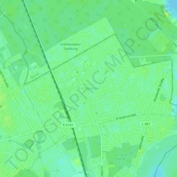
Name: Eichwalde topographic map, elevation, terrain.
Location: Eichwalde, Dahme-Spreewald, Brandenburg, 15732, Germany (52.36459 13.60535 52.38135 13.64696)
Average elevation: 37 m
Minimum elevation: 31 m
Maximum elevation: 41 m
Thank you for supporting this site ❤️
Make a donation
Make a donation