
Grogan topographic map
Interactive map
Click on the map to display elevation.
About this map
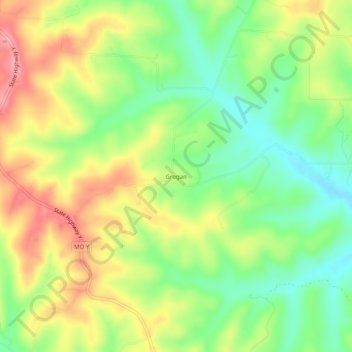
Name: Grogan topographic map, elevation, terrain.
Location: Grogan, Texas County, Missouri, 65464, USA (37.13477 -91.90626 37.17477 -91.86626)
Average elevation: 392 m
Minimum elevation: 339 m
Maximum elevation: 454 m