
Thank you for supporting this site ❤️
Make a donation
Make a donation
Teesdale topographic map
Click on the map to display elevation.
Thank you for supporting this site ❤️
Make a donation
Make a donation
About this map
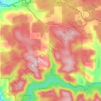
Name: Teesdale topographic map, elevation, terrain.
Location: Teesdale, Shire Of Murray, Western Australia, Australia (-32.77023 115.97503 -32.70132 116.05227)
Average elevation: 240 m
Minimum elevation: 80 m
Maximum elevation: 335 m
Thank you for supporting this site ❤️
Make a donation
Make a donation