
Trångan topographic map
Interactive map
Click on the map to display elevation.
About this map
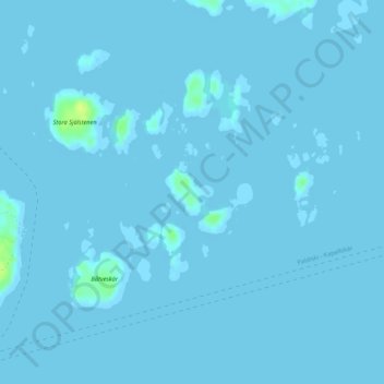
Name: Trångan topographic map, elevation, terrain.
Location: Trångan, Norrtälje, Stockholm County, Region Svealand, Sweden (59.73978 19.19068 59.74307 19.19752)
Average elevation: 0 m
Minimum elevation: -1 m
Maximum elevation: 15 m
Other topographic maps
Click on a map to view its topography, its elevation and its terrain.
Oppgården
Sweden > Stockholm County > Oppgården
Oppgården, Norrtälje, Stockholm County, Region Svealand, 761 93, Sweden
Average elevation: 21 m
Hjorthagen
Sweden > Stockholm County > Stockholm
Hjorthagen, Östermalms stadsdelsområde, Stockholm, Sveriges Landskap, Stockholm County, Region Svealand, Sweden
Average elevation: 13 m